Building a multi-resolution land surface model infrastructure to study environmental processes within regional to global scale applications
2021
FinanzierungIn global land surface models (LSMs) the earth's climate system is approximated by splitting the earth into many grid cells. The size of these grid cells is known as the model resolution, and higher resolution models are able to capture more detailed processes at a finer scale, but require much more computing power to run. Because of this, global scale simulations are generally run at coarse resolutions (e.g. grid cells with dimensions of 50x50km). However, this limitation means that many processes which occur at scales smaller than the model resolution are not reproduced. It also makes it more difficult to assess model performance, because much of the data we have to quantify sub-grid processes can only be measured at the point or site scale. In this project, we aim to bridge the gap between site-scale observations and coarse-resolution global scale simulations by building a multi-resolution and multi-scale modeling infrastructure using the Community Land Model (CLM5).
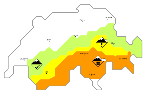
This modelling infrastructure will enable simulations at the point scale, kilometric-resolution regional scale, and coarse-resolution global scale. Kilometric-resolution regional scale simulations will be limited to the extent of Switzerland, for which we will use detailed meteorological forcing datasets generated using methods developed by the operational snow hydrological service (OSHD). Within the snow hydrology research group we are especially focused on forest snow processes. We will therefore use this multi-resolution modelling infrastructure to examine how the incorporation of sub-grid variability in forest structure improves the accuracy of land surface albedo estimates.

