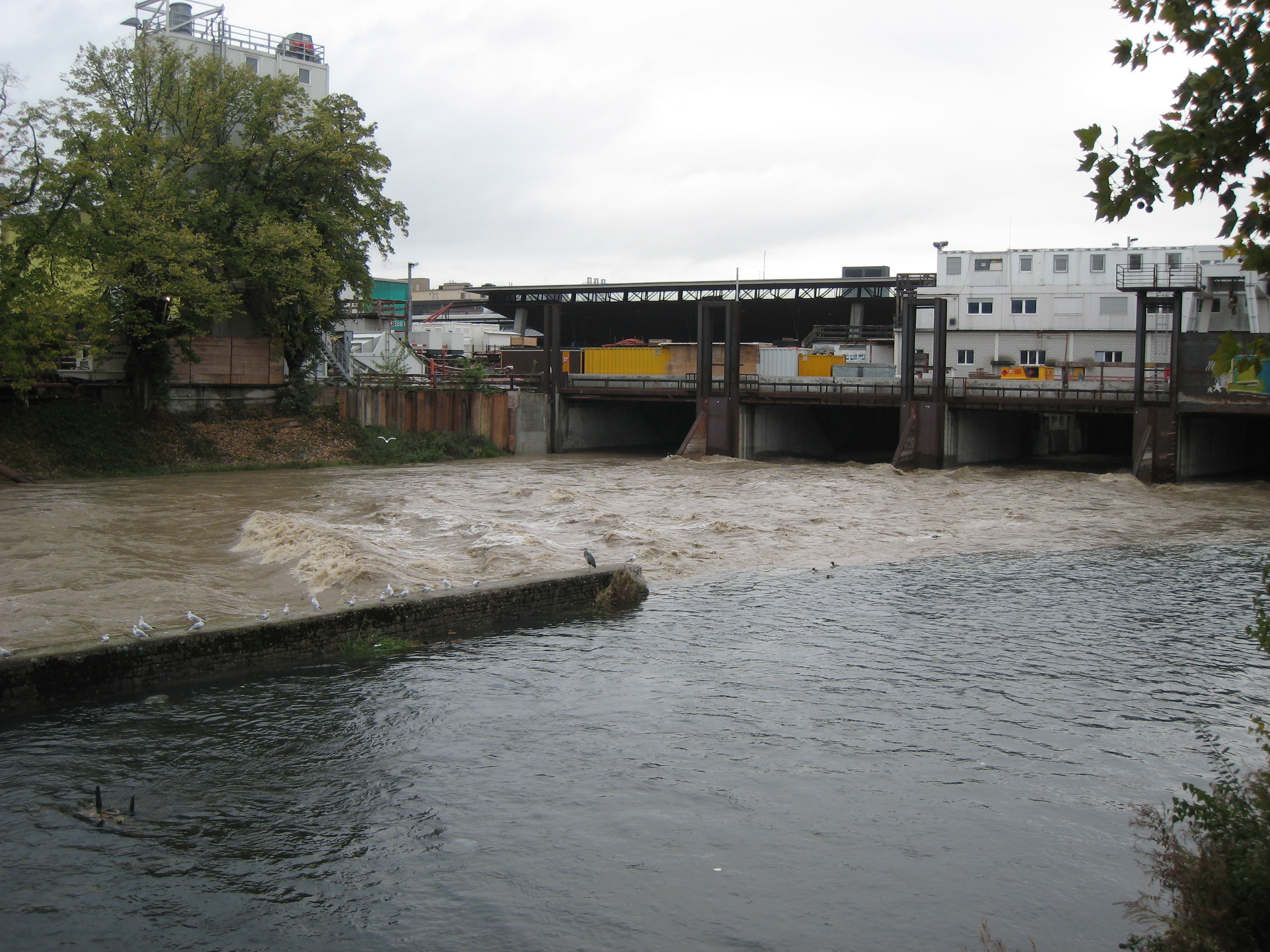
In Switzerland, flooding causes material damage amounting to several hundred million francs on average every year. This is why we develop computer models and monitor water inflows so that we can forecast floods and issue warnings in good time.
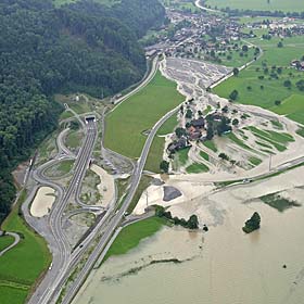
Floods past and present provide an opportunity to understand the causes and identify those areas that are at severe risk. As such, we have been documenting all flood events in Switzerland since 1972 in our flood and landslide damage database. Engineers can use this to create hazard maps, and it enables us to calibrate our flood models.
We use snowmelt, among other sources, to feed the flood simulations. The operational snow-hydrological service (OSHD) at the WSL Institute for Snow and Avalanche Research SLF supplies us with this. We analyse how much snow is lying in specific locations and link this data with snowmelt and weather forecasting models. This allows us to calculate how much snowmelt will run off in the coming days.
Identifying floods in good time
We have been running a flood forecasting system since September 2008 for the city of Zurich and the Sihl valley (IFKIS Sihl). As we remodel the flood situation daily, we can identify events at an early stage. This increases the safety of the city and of Zurich's main train station.