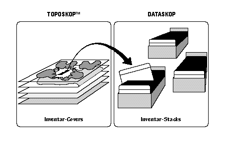

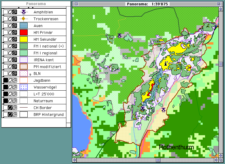
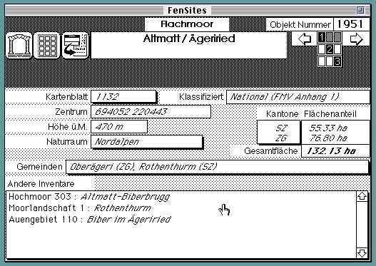
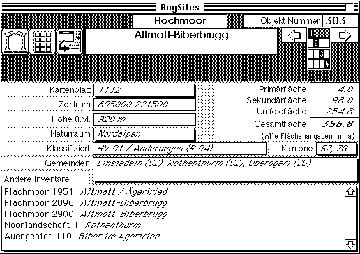
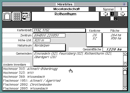
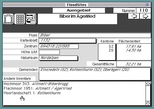
Easy Access TOPOSKOP has been designed to provide simple and efficient access to the data of the national biotope inventories (see below). It consists of two programs (only available for Macintosh): the TOPOSKOP graphic viewer, which creates a map overlaying the object boundaries of different inventories, and the DATASKOP database, a HyperCard application containing the data belonging to each object.
Apart from locating the site of any object and looking up the information you can also:
Data Available
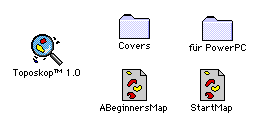
TOPOSKOP is distributed on a removable hard disk cartridge.
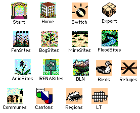
At present TOPOSKOP comes along with the following inventories:
 Fenlands
 Raised
bogs
Raised
bogs  Mire
landscapes
Mire
landscapes  Flood
plains
Flood
plains Bird sanctuaries
  Refuges (no hunting)
  Landscapes and natural monuments
(BLN)
Landscapes and natural monuments
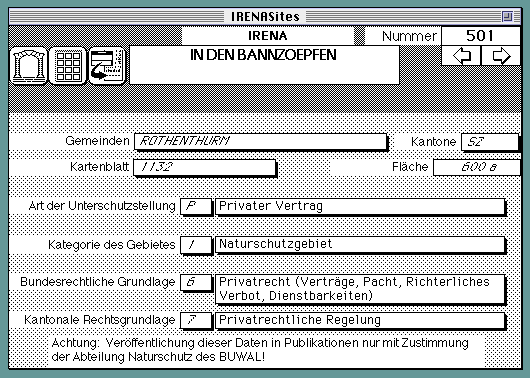
(BLN)  IRENA:
Inventory of legally enforced nature protection sites in Switzerland
IRENA:
Inventory of legally enforced nature protection sites in Switzerland
 Semi-arid grasslands (cantonal
inventories).
Semi-arid grasslands (cantonal
inventories).  Amphibian spawning places
Communes, cantons, the natural regions and the boundaries of the topographical maps are included for orientation and treated in the same way as the inventories.