
During heavy rain, soil can become waterlogged and lose its stability. On steep slopes, this often leads to shallow landslides and hillslope debris flows (referred to simply as landslides below). We conduct research in the laboratory, at field sites and using computer models on how and where these types of landslides occur and how the public can be warned.
Contents 
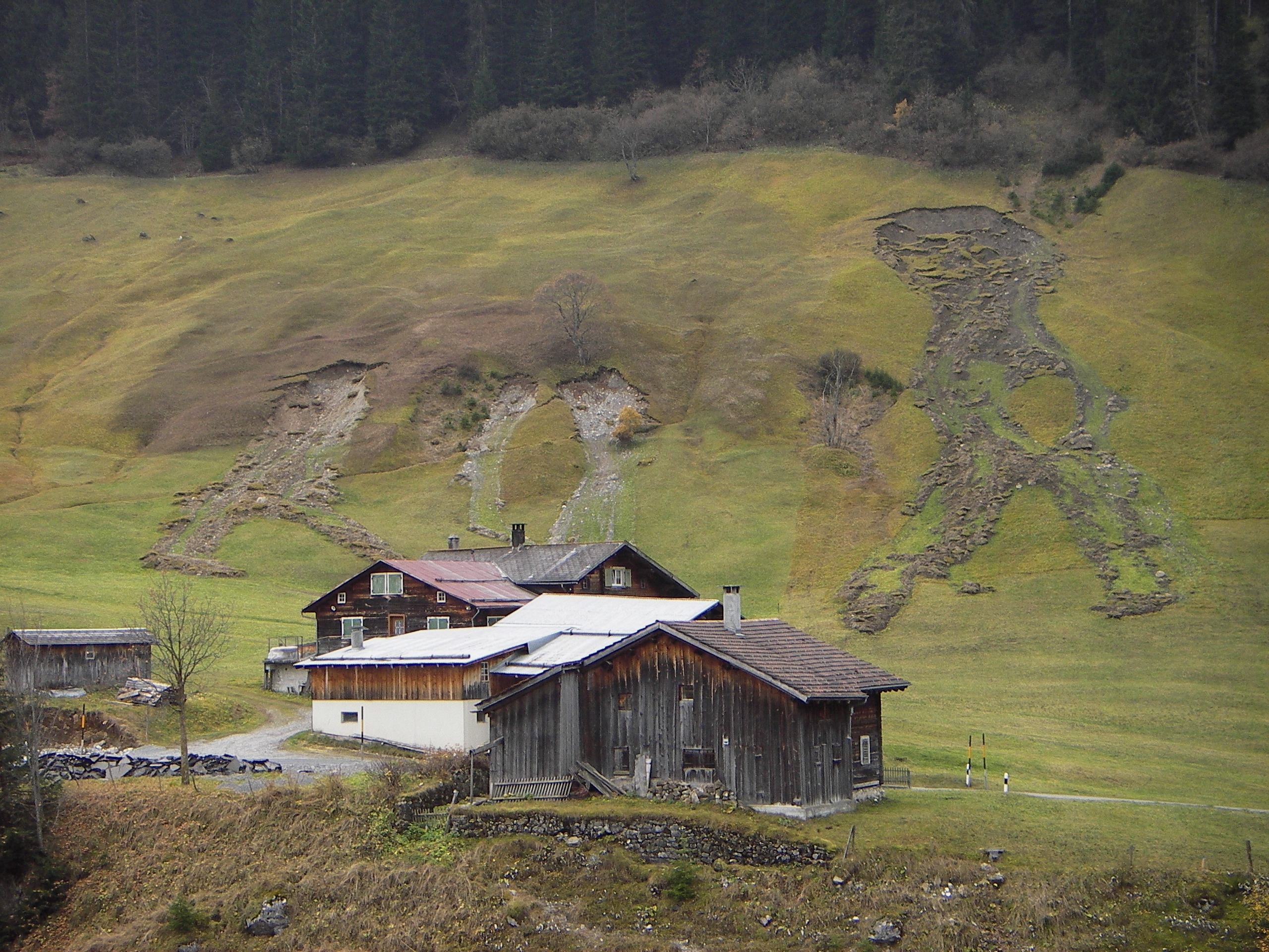
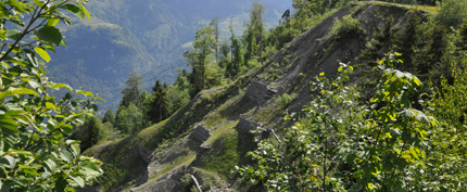
Landslides and hillslope debris flows consist of a mixture of water, soil material and mud. A spontaneous landslide is a loose mass of rock that slides rapidly along a sliding plane. It is different from a permanent landslide, which moves continuously and evenly downhill over long periods of time (centuries, millennia). Hillslope debris flows develop from spontaneous, usually shallow landslides which lose their structure once they are released and descend as «mudslides». A hillslope debris flow is therefore more fluid than a landslide.
Since they most often occur without any warning and given that the soil matter can flow down the slope very rapidly, landslides pose a serious threat to people, buildings and infrastructure such as roads and railway lines.
Documenting landslides 
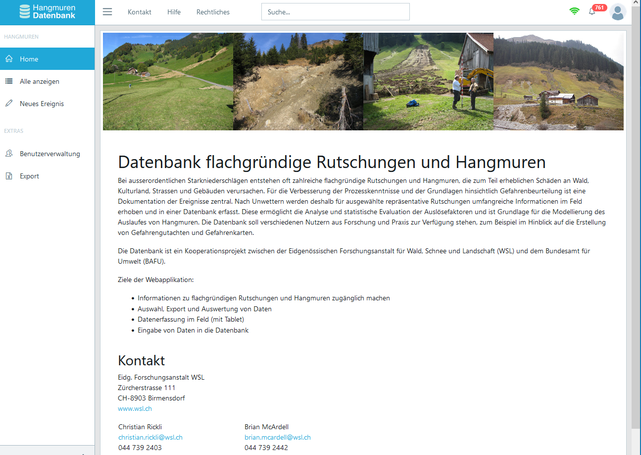
Following storms that result in hillslope debris flows and shallow landslides, there is the opportunity to document as many of these types of events as possible. We gather information on the dimensions of the landslides, the topography, the site characteristics, the vegetation, the land use and the sliding mechanism. This information is fed into a database that we manage together with the Federal Office for the Environment (FOEN). The database is also set to be used in future to create hazard maps and hazard assessments for hillslope debris flows.
Predicting landslides 
With regard to a future national warning system for slope instabilities, we are investigating the usefulness of (in-situ) soil moisture information. This information is already available at over 35 sites in Switzerland, and a national soil moisture monitoring network is under development. Our research shows how - with such information - threshold values for the occurrence of landslides can be derived and, using physically-based spatial models, potential landslide sites can be identified. With these information and methods, we also calculate where more or less landslides are likely to occur in the future (with climate change).
Plants stabilise slopes 
Plants strengthen steep and unstable slopes with their root system and thus help to reduce the risk of landslides. We investigate this effect in the field and in the laboratory. Based on documented events (cf. landslide database), we can identify where and under which conditions slope failures occurred and which properties of the vegetation are important for slope stability. Based on these findings, interactive maps can be developed, among other things. This makes it possible to show the potential for preventing landslides of individual parts of the forest. The maps thus support sustainable forest management and allow to prioritise interventions.
Thanks to measurements of soil water in soil profiles at selected sites with well or insufficiently structured stands, the influence of forest structure on the water balance can be described. Initial results indicate that soil moisture at sites with a diverse stand structure is in a critical range in regard to slope stability for less time.
In the laboratory, the root growth of various plants and the corresponding effect on soil stability are studied. In addition, a specially developed device called a shearing apparatus can be used to study soil in the laboratory under conditions similar to those outside on slopes. The results show: Compared to bare soil, planted samples withstand up to 65 percent higher stresses.