

16.07.2026 | Claudia Carle, Eawag | WSL News
Climate change is causing shifts in the regional distribution of animal and plant species: Species unable to tolerate the heat, migrate to cooler regions or die out. In cities, this risk is often underestimated. In the absence of more precise data, it is often calculated using regional climate data, which do not take into account the impact of urban heat islands. A new modelling approach enables significantly more reliable predictions and, consequently, more targeted countermeasures.
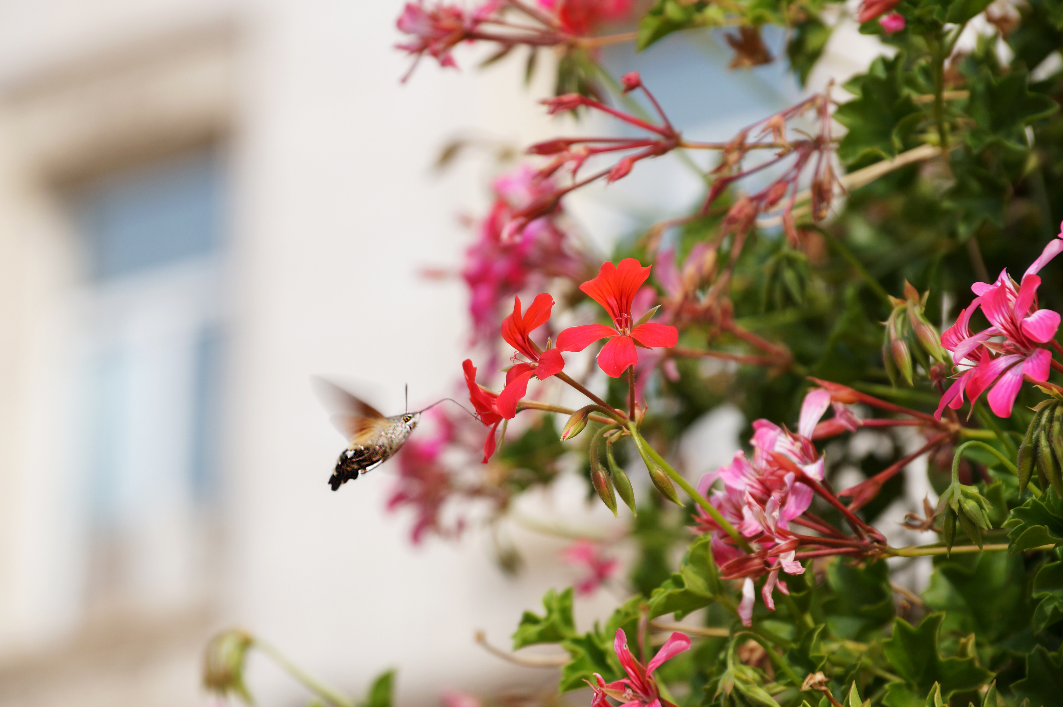
The local climate is a key factor in determining where animal and plant species are found. If the climate changes beyond a species’ tolerance threshold, its range shifts. For example, cold-loving species retreat to higher-altitude areas. If that is not possible, they will die out locally. Assessing the risks that climate change poses to biodiversity is particularly difficult in cities because climatic conditions vary more widely over a smaller area than, for example, in woodlands or farmland. Furthermore, due to the high proportion of impermeable surfaces, which absorb and retain heat, urban temperatures are often several degrees higher than in the surrounding countryside.
Consequently, the risks climate change poses to biodiversity in cities are underestimated if predictions rely solely on regional or rural climate data. However, more precise data on urban microclimates are frequently lacking. To solve this, researchers at the Aquatic Research Institute Eawag and the Swiss Federal Institute for Forest, Snow and Landscape Research (WSL) have developed a modelling approach that uses existing data to generate highly detailed urban microclimate predictions.
Case study for Zurich: Climate risks for 182 species 
An interactive tool displays the results of their case study for Zurich, which calculated the climate risks for 182 species across six species groups: amphibians, trees, grasshoppers, dragonflies, butterflies and birds. The researchers found that regional climate data significantly underestimate the climatic risks to urban biodiversity, as actual local temperatures can differ by up to 2°C.
Because the approach uses environmental data that are widely available at high spatial resolution, it can be applied to cities around the world. It thereby provides the basis for implementing measures to mitigate heat or create cooling zones in precisely those areas where they are needed most.
Blue-green infrastructure
Blue-green infrastructure (BGI) is an integrated, nature-based approach to urban planning. The concept combines the natural water cycle (water bodies, infiltration areas) with green elements such as green spaces, green roofs and trees, in order to manage water sustainably and promote biodiversity. In contrast to traditional, grey infrastructure (concrete channels and pipes), BGI utilises natural processes to absorb, store and filter rainwater. This reduces the risk of flooding, improves water quality and, at the same time, cools the city. Researchers at WSL and Eawag are conducting interdisciplinary projects to investigate how effective blue-green infrastructure can make our cities more climate-resilient and liveable.
Contact 
External Contacts 
Dr. Lauren Cook: Group leader Department Urban Water Management, Eawag, lauren.cook(at)eawag.ch
Links 
Interactive Tool: Zürcher Biodiversität in Zeiten des Klimawandels
Publikationen 
Copyright 
WSL and SLF provide image and sound material free of charge for use in the context of press contributions in connection with this media release. The transfer of this material to image, sound and/or video databases and the sale of the material by third parties are not permitted.