Capturing snow depths by using drones
Andreas Stoffel
Elisabeth Hafner
Pia Ruttner-Jansen
Julia Glaus
2015 - 2030
Cooperation Financing
Where is the snow and how much? To what degree do snow depths vary through the course of the winter? Whoever needs to answer such questions is dependent on data from the automated weather stations. Snow depths in the regions extending between stations are simply extrapolated by applying mathematical formulas, albeit with correspondingly wide margins of error and imprecision, since snowpack depths in fact vary greatly, including over the smallest areas.
Recent endeavors to measure snow depths by means of remote exploratory methods such as laser scanning and digital photogrammetry are highly promising. Yet even these methods have their disadvantages. If they are employed from manned aircraft, they are very expensive. If they are used from the ground, data is often patchy and fragmented, since protruberances in the terrain tend to get in the way, and recording angles are sometimes unfavourable.
Promising results
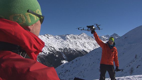
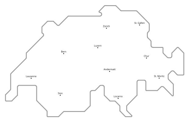
At the Snow and Avalanche Research Institute of Switzerland, researcher Yves Bühler tested whether drones (unmanned aerial systems) equipped with digital cameras were suitable for measuring and mapping snow depths over wide-ranging areas. He employed his drones at different times over two testing areas in the Davos region: on the valley floor of Flüelatal at 1940 metres altitude; and from the wind-exposed summit of Brämabüel at 2500 metres above sea level, where snow depths are known to differ up to 5 metres within 3 metres distance. By taking manual measurements, Bühler double-checked the drone-recorded measurements to see how well the digital photogrammetry data corresponded to his strenuous but precise manually-taken measurements.
The results in both testing areas were promising: on meadows and in rocky terrain, Bühler was able to precisely record snow depths by employing the drones. In regions which were covered with shrubs and high grass, good data were also generated, although such vegetation is elevated above the ground in summertime and pressed down by the snow cover in wintertime, such "dynamic" surfaces provided slightly less precise data than on meadows and in rocky areas.

Technology of the future
This measurement-taking technology opens brand new perspectives to the science of snow research. It will enable us in the future to record snow depths efficiently, flexibly and inexpensively which are easily replicated and can capture wide-ranging surface areas. Not only avalanche research can gain great advantages from such data, water resource models for hydraulic power and flood warning systems can be improved, the artificial-snow preparation of ski runs can be analyzed and optimized and the precise locations where artificial avalanche-triggering systems should be ideally placed can be determined. For deployment in these fields, additional detailed studies are indispensable.
Publications
Links
- Remote sensing WSL
TV reports
- SRF Einstein: Wie weit donnert die Lawine ins Tal?
- Bayrischer Rundfunk: Lawinenschutz per Drohne
