Shallow landslides: impact of Forest structure on slope stability (SlimForest)
Frank Graf
Deputy Project staffAlexander Bast
Peter Bebi
Ruedi Bösch
Christian Ginzler
Christian Rickli
Christian Simeon
2019 - 2021
Cooperation Financing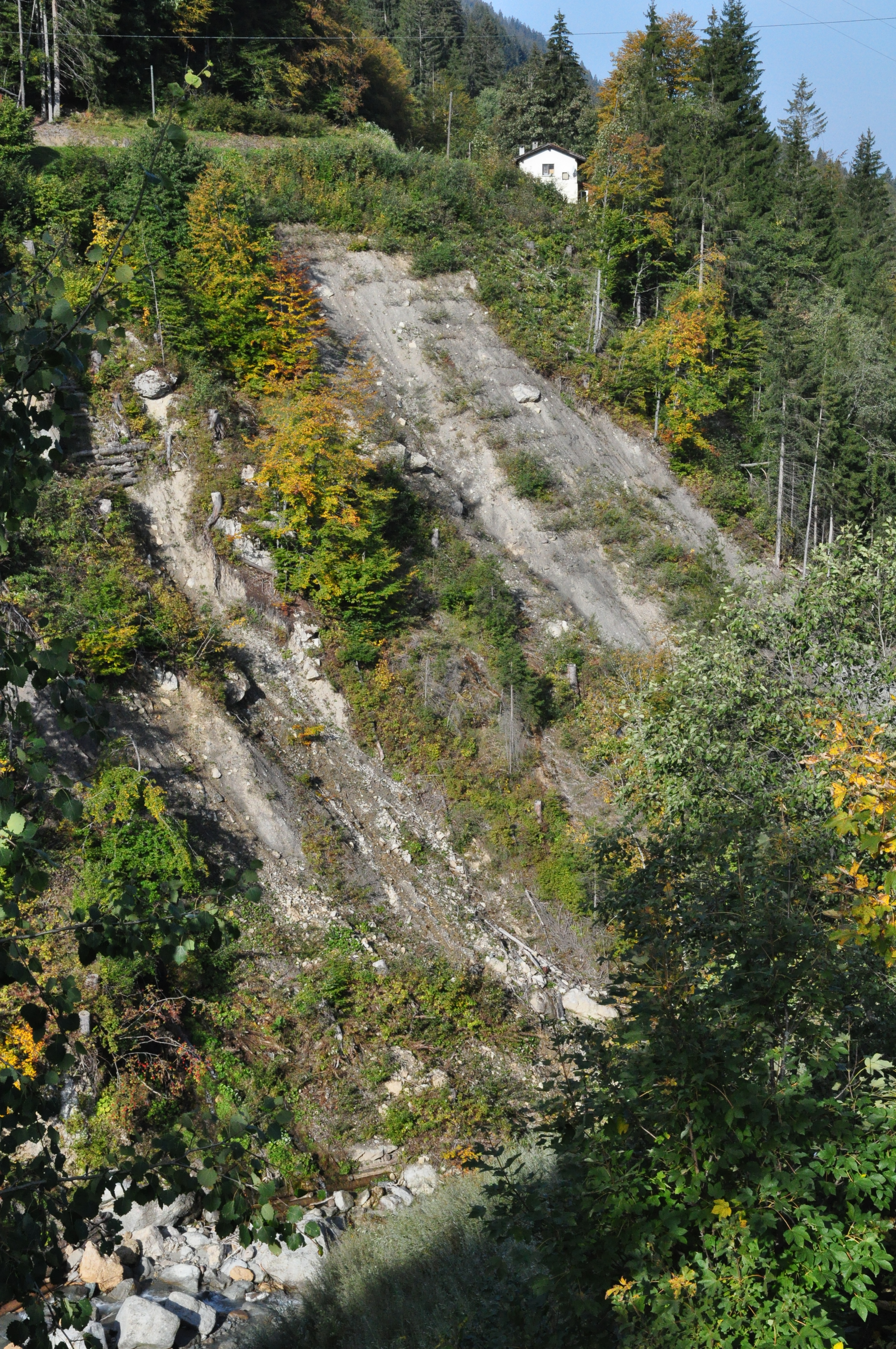
The project aims at providing the missing link between the belowground water regime, related to the triggering of shallow landslides, and aboveground structural properties of forests as well as between ground truth measurements and remote sensing data in view of up-scaling from the local (single tree, cluster) to the regional (stand) and supra-regional scale (catchment). The water regime is addressed by volumetric water content, matric potential, electrical conductivity, tempera-ture, and electrical resistivity tomography (ERT). Measurements are conducted continuously, locally fixed and ad-hoc, spatially distributed in plots of a well and poor structured forest and referenced to a nearby clearing. Forest characterisation is assessed by experts and with a drone-based approach using RGB and thermal cameras with the latter providing a link to the soil water regime via evapo-transpiration. The application of ERT in forests and the combination with thermal imaging is new to science.