GIS
Head: Martin Hägeli
Contents
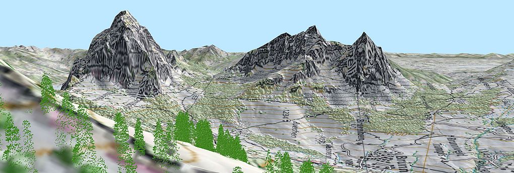
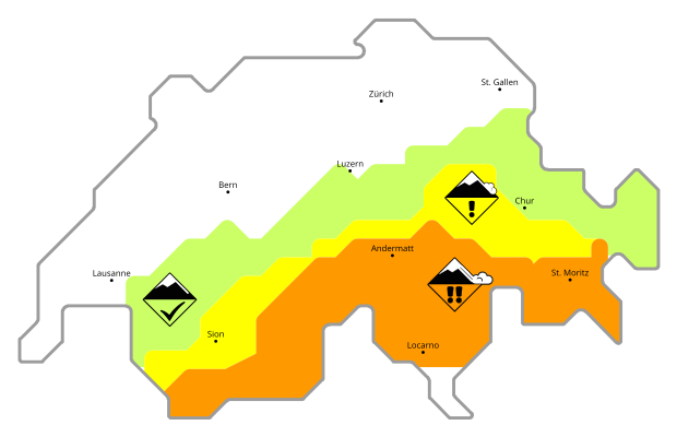
The use of consistent and comprehensible spatial data is fundamental for ecosystem research, in particular in the context of long-term observation series. Methods in geographic information sciences for spatial information analysis allow to build and link complex models of different scientific fields.
Tasks and main research:
- Analysing spatial and temporal data and modelling natural phenomena and processes.
- Developing methods for the analysis of big geo-data collected casually (rather than according to a well defined design) at different spatial scales.
- Developing and implementing concepts to provide spatially distributed geographic information (Virtual Data Center).
- Maintaining and advancing the National Forest Inventory NFI-database and the Datacenter Nature and Landscape DNL, developing software for the NFI and DNL and implementing the long-term availability of spatial and statistical data and related methods.
- Maintaining and advancing the services, software and database for the WSL Data Portal envidat.ch.
- Maintaining and advancing the Geographic Information System of the WSL.
- Transferring knowledge at the university level, through lectures, support and supervision of Master- and PhD-theses in the main topics of the GIS-Group.
Projects
Services and Products
Links
Distribution maps of the most common woody species
Staff
GIS
Groupleader |
|
Scientist |
|
Technical staff member |
|
Postdoc |
|
IT specialist |
|
Technical staff member |
|
Visiting scientist |
|
Software engineer |
|
Software engineer |
|
Software engineer |
|
IT specialist |
|
Software engineer |
|
Master student |
|
Software engineer |
|
Postdoc |
|
Software engineer |
|
Software engineer |
|
IT specialist |
|
Scientific staff member |
|
Master student |
