On all plots, forest structure is assessed every 5 to 12 years. Surveys are coordinated with the relevant forest services and conducted in the same year as silvicultural interventions, so that measurements can be taken both on remaining trees and on harvested trees shortly before their removal. This allows for precise estimation of individual tree and stand growth, as well as the intensity and type of silvicultural measures applied.
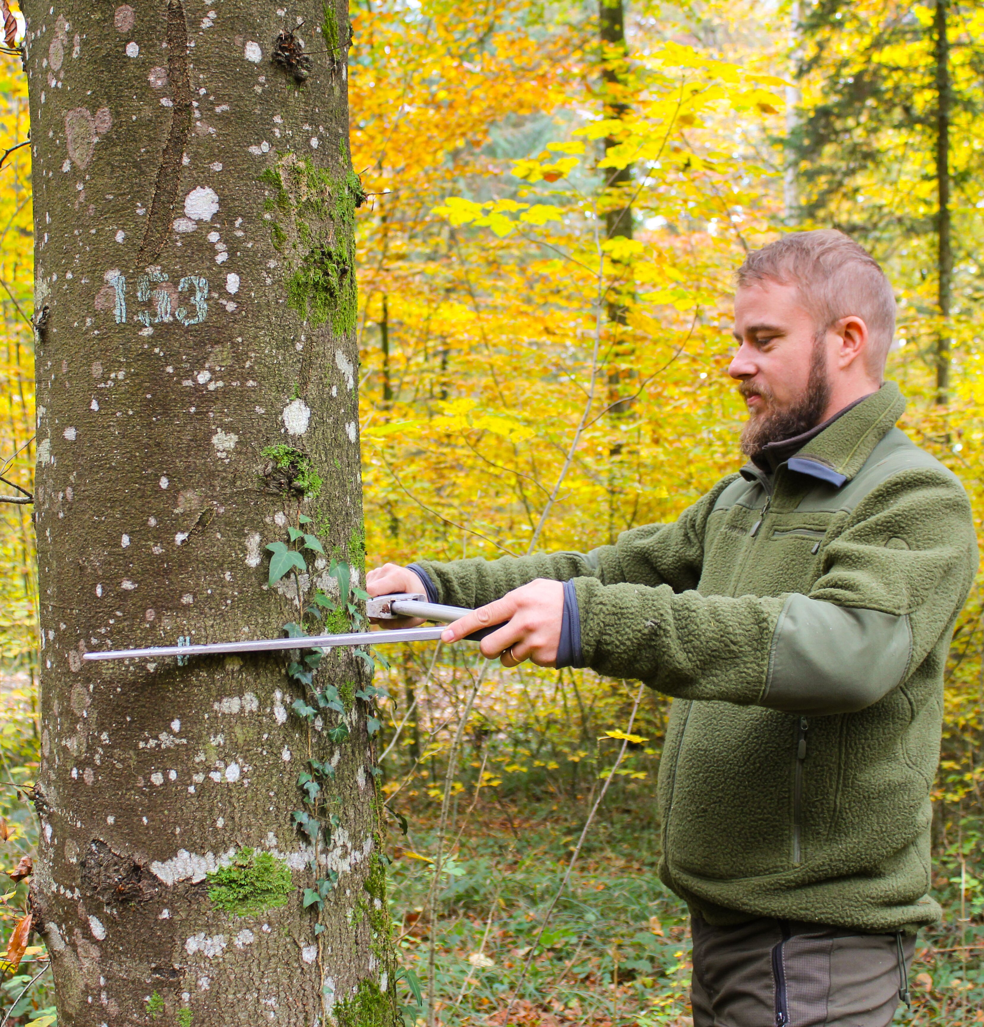
At each inventory, the diameter of all trees is recorded and tree mortality is assessed. For ingrowth trees that have crossed the calliper threshold since the last survey, species and spatial position are recorded. On a subset of trees, height, crown length, crown radius, and diameter at 7 m height are also measured to estimate timber volume and crown morphology. Further details are described in the project report (Forrester et al. 2019).
In addition to the standard measurement protocol applied across all plots, supplementary surveys are conducted on specific plots as needed – for example, on regeneration status, tree ring widths, or forest structure using close-range remote sensing with LiDAR. Information on site and soil properties, historical climate, and future climate projections is continuously updated.
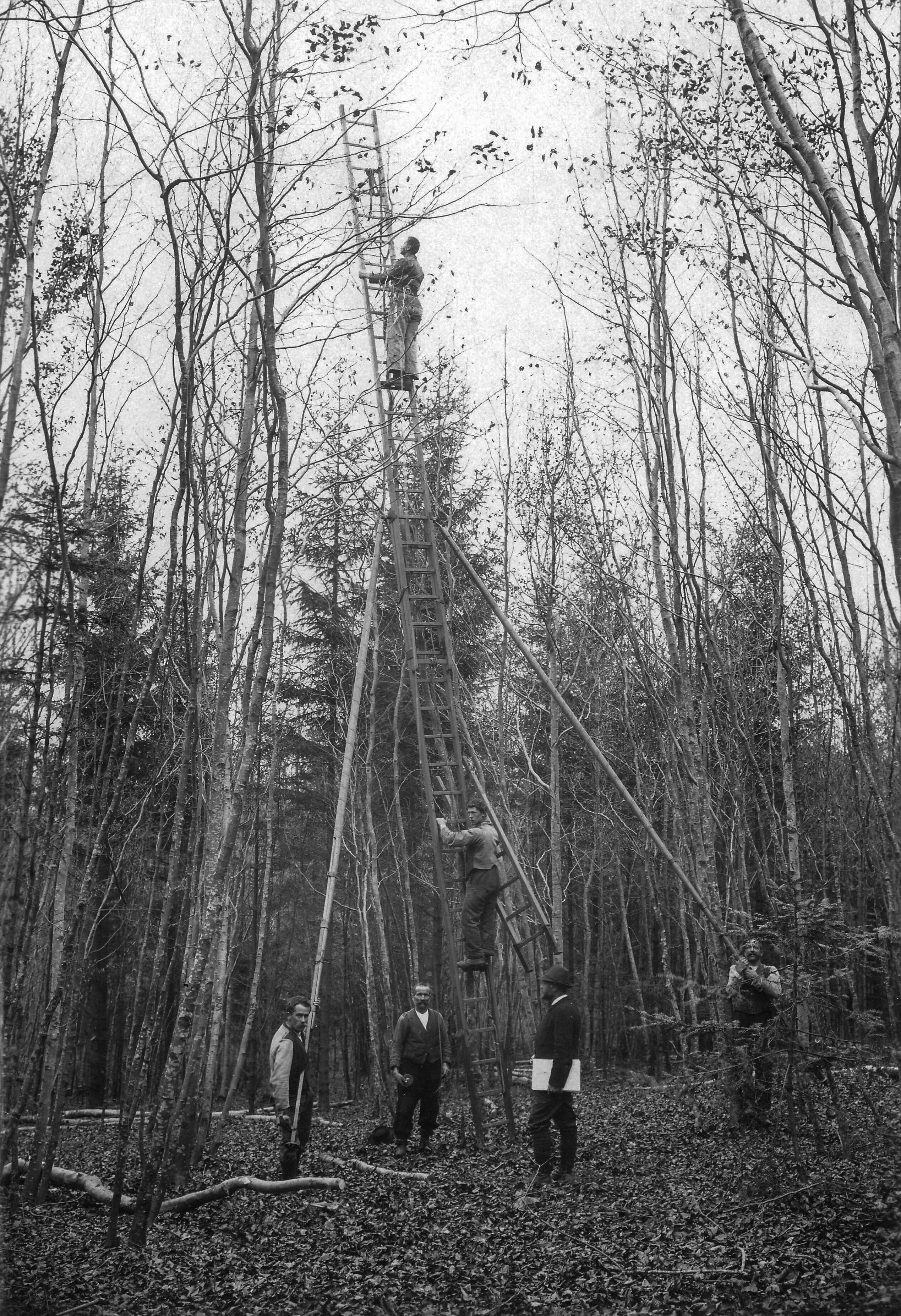
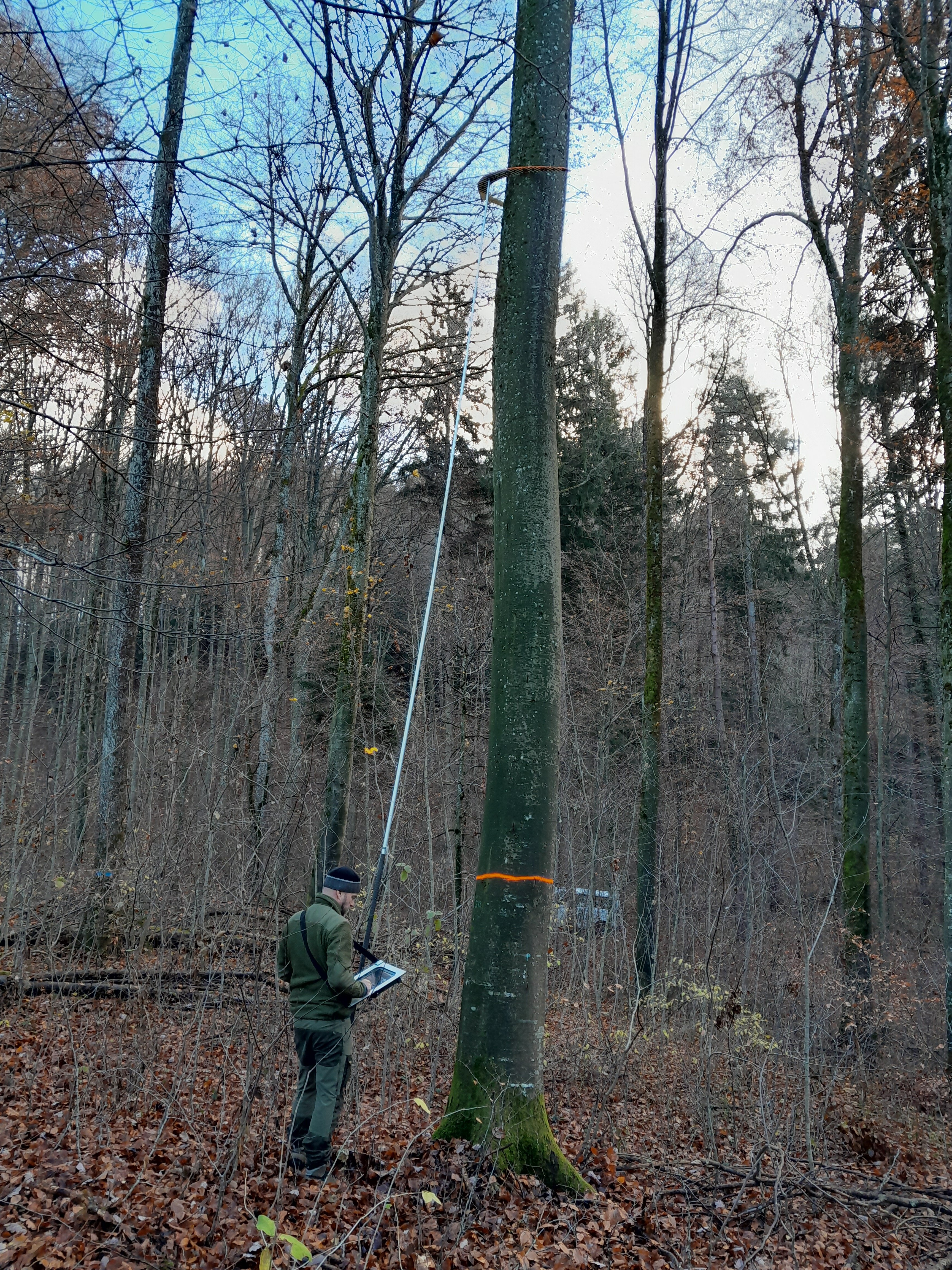
Additional measurements on forest growth research plots. Left: sectional diameter measurement in 2 m intervals on standing trees in 1916 (no longer part of the current survey protocol, photo: WSL Archive). Centre: diameter measurement at 7 m height (photo: J. Glatthorn). Right: trigonometric tree height measurement (photo: H. Schmid WSL).