Research
07.07.2026
Why Europe’s trees are dying
Why Europe’s trees are dying
Deviations from the usual climate are causing trees to die prematurely. Even favourable growing conditions can have a negative impact.
read more
Research
02.07.2026
When brown leaves don't mean Autumn
When brown leaves don't mean Autumn
Increasingly, forest trees are changing colour prematurely due to heat waves and extreme droughts. Why this is a problem.
read more
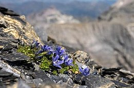
Research
30.06.2026
Typical landscapes of Switzerland
Typical landscapes of Switzerland
A new method makes it possible to map Switzerland’s characteristic landscapes across the whole country.
read more
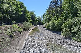
Research
26.06.2026
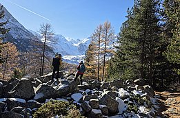
The Swansong of the Glaciers
The Swansong of the Glaciers
Swiss glaciers are receding at a rapid pace – and this has already become apparent in the volume of meltwater during extreme years.
read more